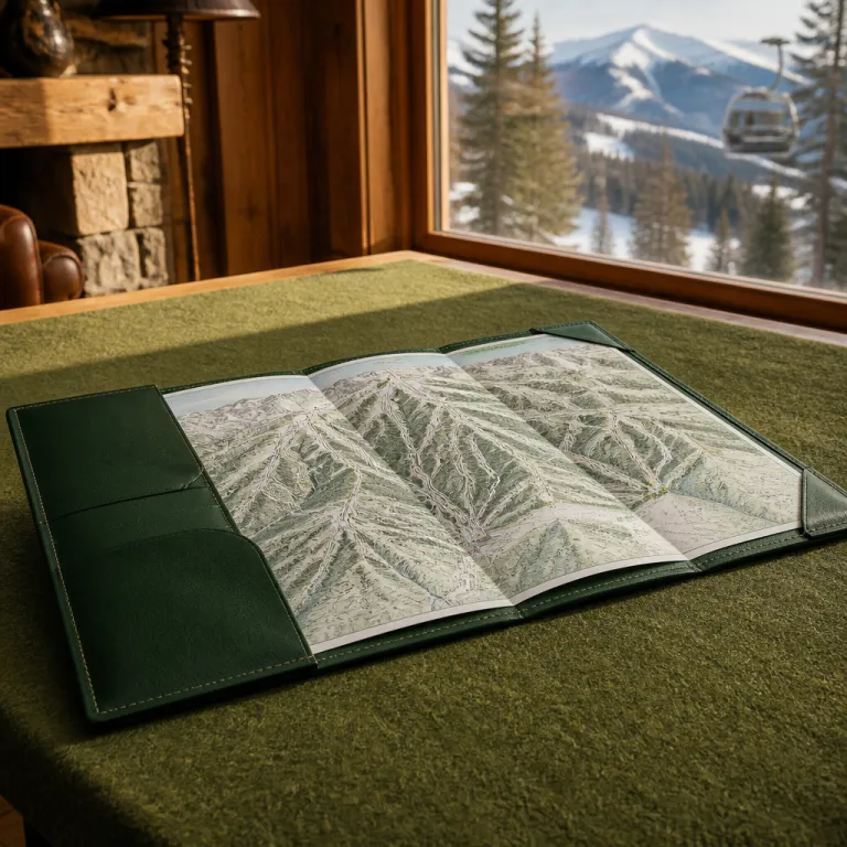
Reading a Colorado ski resort map like a luxury insider
A refined ski trip in Colorado begins with understanding every resort map before you even pack your boots. When you study a detailed trail map of a Colorado ski destination, you translate colored lines and symbols into real skiing terrain, vertical drops, and quiet corners away from the crowds. That is how a premium traveler turns a simple search for Colorado ski resorts on a map into a curated mountain experience.
Each ski area in Colorado publishes its own trail map, yet not all maps reveal the same level of detail about terrain and access. Luxury-focused guests should look for clear grading of skiing terrain, precise lift names, and marked zones for bowl skiing, cat skiing, and terrain parks, because these elements signal both scale and sophistication. When a mountain resort invests in accurate cartography and regularly updated legends, it usually also invests in grooming, snowmaking, and high-capacity lifts that keep your ski day smooth.
Colorado hosts dozens of ski areas with thousands of kilometres of slopes and hundreds of lifts, so a statewide overview map helps you compare resorts quickly. On a premium booking website, an interactive Colorado ski map should allow you to filter by ski hill elevation, ski resort size, and family-friendly facilities, which is far more useful than a static image. Imagine a map where you can toggle layers for snow reports, open lifts, and on-mountain dining; with that kind of interface, you plan each winter day with the precision of a concierge, whether you are targeting a quick weekend near Denver or a longer circuit across the Rockies.
From Aspen to Steamboat Springs: mapping Colorado’s most exclusive terrain
Colorado sits in the heart of North America, and its most prestigious ski resorts cluster along the spine of the Rocky Mountain range. When you zoom in on any high-quality map of Colorado ski resorts, four names dominate the luxury conversation, and each one offers a distinct style of skiing terrain and après-ski culture. Understanding how these resorts relate to one another on the map helps you design a multi-stop itinerary that feels effortless rather than rushed.
Aspen and its neighbouring mountains form one of the most complete mountain resort complexes in the USA, with varied terrain parks, long groomers, and serious bowl skiing above the tree line. On a detailed trail map you will see how Aspen Mountain, Aspen Highlands, Snowmass, and Buttermilk connect by road rather than lifts, which matters when you plan transfers and kids’ ski lessons across different ski areas. A premium booking platform should show this Aspen cluster on a single interactive Colorado map panel, with driving times, closest airport options, and recommended luxury properties pinned clearly; for context, Denver to Aspen via I‑70 and Highway 82 typically takes around four hours in good winter conditions.
Farther north and west, Steamboat Springs appears on any serious Colorado ski map as a self-contained ski area with famous tree skiing and a relaxed ranch-town atmosphere. Its trail map highlights long fall-line runs, family-friendly zones, and a growing terrain park network, which appeals to mixed-ability groups who want both challenge and comfort. If you enjoy studying refined ski guides, compare this Colorado mapping with curated international resources such as this guide to skiing in style in Japan, and you will quickly see how world-class resorts position their terrain and services.
Using Colorado ski maps to match resorts with your travel style
Every traveler reads a Colorado ski resort layout through a personal lens, and luxury guests usually prioritise comfort, privacy, and efficient logistics. When you open an interactive Colorado map on a premium booking website, start by filtering ski resorts by travel time from the closest airport, because that single factor shapes the rhythm of your entire winter holiday. A short transfer often matters more than an extra ski hill or two, especially for families and long weekend escapes.
For beginners and cautious intermediates, a Colorado ski map should highlight gentle gradients, wide learning zones, and clearly separated terrain parks to keep traffic predictable. Look for ski area icons that indicate dedicated kids’ ski schools, family-friendly lifts, and covered magic carpets, since these details transform a stressful first day into a relaxed introduction to skiing. When a ski resort publishes a clear trail map with colour-coded family zones and marked slow-skiing terrain, it signals a thoughtful approach to guest flow and safety.
Experienced skiers often scan the same map for advanced bowl skiing, cat-skiing operations, and steep north-facing slopes that hold snow longer into winter. In Colorado, resorts such as Beaver Creek, Aspen Highlands, and Steamboat Springs each show their expert sectors differently, so comparing their trail maps side by side is invaluable. If you are planning your first refined trip, resources like this guide to the best ski resorts in Colorado for beginners complement the raw data from maps with nuanced commentary about service levels, lift access, and on-mountain dining.
Decoding terrain, snow, and seasonality on Colorado resort maps
Colorado’s mountainous terrain and reliable snow create a long winter season that typically runs from November to April. When you examine any overview of Colorado ski resorts, pay attention to elevation bands, slope orientation, and the spread of skiing terrain across different aspects of the mountain. These map details help you anticipate snow quality, sun exposure, and how conditions may evolve from early season to spring.
Higher north-facing slopes usually preserve dry, light snow longer, while south-facing runs soften earlier on sunny days, which can be delightful for relaxed afternoon skiing. A sophisticated trail map often marks bowls, glades, and open alpine faces separately from groomed pistes, giving you a clear picture of where bowl skiing or tree runs will dominate your day. Luxury travellers who value predictable surfaces should focus on resorts with extensive grooming symbols, modern lift icons, and clear indications of snowmaking coverage across the ski area, especially on key home runs and main connectors.
Colorado ski operators increasingly use advanced snowmaking and grooming technologies, and that investment often appears subtly on the map through highlighted snowmaking lines or snowflake symbols. When you compare several ski resorts, notice which mountain resort shows the densest network of snowmaking on key connectors, because that usually translates into more open terrain during marginal weather. For guests planning cat skiing or off-piste experiences, look for boundary markings and access gates on the trail map, then coordinate with local guides who understand both the mapped terrain and the unmarked backcountry beyond.
Family friendly mapping: planning Colorado ski trips with children
Families approach a Colorado ski resort map interface with different priorities than expert skiers chasing vertical. Parents want to see where kids’ ski schools sit in relation to accommodation, rental shops, and gentle slopes, because short walking distances make winter mornings calmer for everyone. A premium booking website should overlay these practical points on the same Colorado map canvas as lifts and pistes, turning logistics into a simple visual puzzle.
Look for ski resorts that clearly label family-friendly zones, progression parks, and slow-skiing terrain on their trail maps, since this transparency reflects a culture of care. Resorts such as Beaver Creek and Winter Park often highlight dedicated learning areas, themed kids’ ski trails, and beginner-friendly terrain parks, which helps you match each child’s confidence level to the right ski hill. When a ski area separates advanced terrain parks from novice zones on the map, teenagers can explore features while younger siblings stay on forgiving slopes nearby.
Steamboat Springs and several other Colorado ski destinations have expanded family programmes in response to growing demand, and that evolution appears directly on updated maps. You may notice new lifts serving gentle terrain, expanded kids’ ski zones, or reconfigured runs that prioritise safety over speed, all clearly drawn on the latest trail map editions. To broaden your perspective on family-focused luxury skiing beyond North America, compare these Colorado layouts with international analyses such as this piece on where to ski in Japan in style in future seasons, and you will see similar mapping strategies emerge worldwide.
Logistics on the map: airports, transfers, and multi resort itineraries
A refined Colorado itinerary often spans several ski resorts, so your planning should extend beyond pistes to include airports and roads. Start by plotting the closest airport to each ski area you are considering, then layer in driving times, road passes, and likely winter conditions. This approach turns a simple state map into a strategic tool for maximising ski time and minimising transit fatigue.
For example, many international guests arrive in Denver, then choose between heading west toward Winter Park and the I‑70 corridor or north toward Steamboat Springs and quieter roads. A good mountain resort map will not replace a dedicated road atlas, yet premium booking platforms increasingly integrate airport icons, transfer routes, and estimated travel durations directly into their Colorado ski interfaces. When you can see at a glance which ski hill clusters together with others within a two-hour drive, planning a three-resort circuit across North America’s premier mountains becomes surprisingly straightforward; Denver to Steamboat Springs, for instance, is usually around three and a half hours by car in normal winter traffic.
Remember that winter storms can affect both snow quality and road access, so always check weather and snow conditions before committing to same-day transfers. Many luxury travellers now combine on-piste days with cat skiing or guided bowl skiing, and these experiences often require early departures from the resort, which should be factored into your map-based planning. As one official summary notes, “Check weather and snow conditions before visiting.”, and pairing that advice with a detailed trail map and regional road map is the most elegant way to keep your Colorado winter journey both safe and indulgent.
Key statistics for mapping Colorado ski resorts
- Colorado currently offers dozens of distinct ski areas, giving travellers an unusually wide choice of mountain styles within a single USA state, according to OpenStreetMap data compiled from regional mapping projects and resort boundary imports (checked in 2024).[1]
- The combined length of ski slopes in Colorado reaches well over two thousand kilometres, based on figures from Skiresort.info and similar industry summaries as of the 2023/24 season, which means a typical guest could ski new runs every day for weeks without repeating terrain.[2]
- Across these Colorado ski resorts there are several hundred ski lifts in operation, as reported by Skiresort.info and resort operators in their 2023 statistics, reflecting sustained investment in uphill capacity and reduced waiting times during peak winter periods.[2]
- Snowmass, part of the Aspen complex, is widely recognised as one of the largest single ski resorts in Colorado when measured by skiable acreage and vertical drop, with an extensive network of pistes that makes it a central reference point on any detailed map of Colorado ski resorts; Vail, by comparison, is often cited as larger by lift-served terrain but organised as a different style of interconnected mountain.[2]
- The winter season in Colorado usually spans from November to April, with early season in November and December, peak conditions in January and February, and late-season skiing in March and April, according to regional tourism summaries and major resort season-date announcements for 2023/24.[3]
Sources: [1] OpenStreetMap regional mapping projects; [2] Skiresort.info resort profiles and operator statistics; [3] Colorado tourism boards and major resort season-date announcements.
FAQ: Colorado ski resort maps for luxury travellers
What is the largest ski resort in Colorado and how does it appear on maps ?
Snowmass is often cited as the largest ski resort in Colorado, and on most trail maps it stands out for its extensive network of long runs, multiple base areas, and clearly segmented zones for beginners, intermediates, and experts. When you compare a Snowmass trail map with those of smaller ski areas, the scale of skiing terrain and lift infrastructure becomes immediately obvious. This visual difference helps luxury travellers gauge how many days they might comfortably spend at the resort before exploring other mountains.
When is the best time to ski in Colorado for reliable mapped terrain ?
January to February is peak season with optimal conditions, and during this period most mapped terrain at major Colorado ski resorts is typically open. Early season in November and December may show some runs or terrain parks closed on the trail map while snowmaking continues. By late winter in March and April, higher north-facing slopes often remain in excellent condition, though some lower ski hills may start to close gradually.
Are there beginner friendly ski resorts in Colorado that are easy to read on maps ?
Yes, many Colorado ski resorts are beginner friendly and express this clearly through their trail maps, which highlight green runs, learning zones, and gentle ski hills near the base. Resorts such as Beaver Creek, Winter Park, and several areas near Denver mark kids’ ski zones and family-friendly lifts with distinct symbols. When a ski area uses simple colour coding and clear legends, first-time visitors can navigate confidently from their first day on snow.
How should luxury travellers use Colorado ski maps when planning multi resort trips ?
Luxury travellers should start with a regional overview map that shows the relative position of major mountains, then add layers for closest airport options, driving times, and preferred accommodation. By comparing trail maps side by side, you can balance days at large mountain resorts like Aspen or Steamboat Springs with quieter ski areas that offer more privacy. This method ensures that each stop on your itinerary delivers distinct skiing terrain and atmosphere without unnecessary backtracking.
What practical steps improve safety when relying on ski resort maps in Colorado ?
Always cross-check the printed or digital trail map with current on-mountain signage, since weather, avalanche control, or maintenance can close runs that appear open on static maps. Before heading into advanced bowl skiing or cat-skiing terrain, consult local ski patrol or certified guides who understand both the mapped ski area and adjacent backcountry. Combining official maps with real-time information about snow, wind, and visibility keeps your Colorado winter experience both safe and enjoyable.