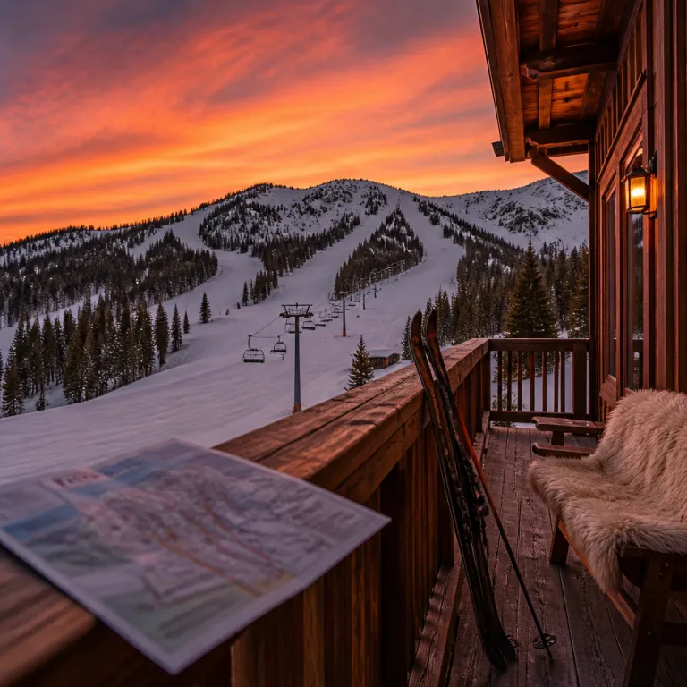
Reading the Brighton ski resort map like a luxury insider
A refined stay at Brighton Resort in Utah begins with how you read the map. When you treat the Brighton ski resort map as a strategic planning tool rather than a simple sketch, you immediately elevate both comfort and safety on the mountain. This approach matters even more for guests booking premium lodging who expect seamless transitions between suite, ski area, and après ski experiences.
The official trail map, published by Brighton Resort as both printed maps and digital maps, is designed to guide you through 66 named trails and about 1,050 acres of skiable terrain, according to the resort’s own figures on its winter mountain information pages. It highlights every lift, from beginner-friendly chairs near the base such as Explorer and Majestic to high-speed access toward the upper mountain like Crest Express, so you can match your day to your preferred level of exertion and luxury. For travellers used to curated itineraries in leading ski resorts across the USA, this level of cartographic detail feels reassuringly familiar.
Before you book a premium ski resort stay in Brighton, study how the map clusters terrain by difficulty and exposure. Note how wooded sections, open bowls, and gentle valley floors are clearly separated, which helps you plan routes that suit both strong skiers and more cautious companions. Focus on how beginner zones near the main base area connect to intermediate cruisers off Snake Creek Express, while more advanced tree runs sit higher on the mountain. Used this way, the Brighton ski map becomes a concierge-level planning aid, allowing you to design a day that flows naturally from first tracks to late afternoon relaxation without unnecessary traverses or stressful surprises.

Choosing the right luxury base using resort maps and terrain details
High-end travellers often start by comparing resort maps from several Utah ski resorts before committing to a booking. When you place the Brighton ski resort map alongside maps from Park City, Deer Valley, and Powder Mountain, you see immediately how compact Brighton’s ski area feels, which is a major advantage for guests who value efficiency and minimal transfer time. The proximity between slopes, lifts, and lodging reduces friction, especially for families or groups travelling with extensive equipment.
Brighton Resort sits in Big Cottonwood Canyon, a valley resort setting that concentrates snow, terrain, and services into a focused city-mountain-style footprint. Unlike some sprawling mountain resort complexes, you can read the Brighton ski map and understand in minutes how to move from gentle learning zones near the Explorer lift to more advanced tree runs off Great Western Express and back again. This clarity is particularly valuable when you are comparing luxury stays across the best ski resorts in the Alps or North America and want a property where every suite feels genuinely ski-in ski-out.
When you analyse the trail map in detail, pay attention to how the lifts connect pods of terrain with different characters. Some sectors favour wide, groomed pistes ideal for relaxed carving, while others weave through wood-lined gullies that appeal to confident skiers seeking a more immersive mountain experience. Matching your preferred lodging location to the lift that best serves your favourite terrain type is a subtle but powerful way to personalise a premium stay without sacrificing convenience or elegance, whether you prioritise quick access to family zones or faster routes to steeper upper-mountain lines.
Designing a premium ski day in Brighton, from first chair to night skiing
Luxury in a ski resort is not only about thread count and champagne; it is about how effortlessly your day unfolds on snow. The Brighton ski resort map becomes your itinerary designer, helping you sequence lifts and trails so that every run feels intentional rather than improvised. With roughly 1,750 feet of vertical drop from top to bottom, based on official resort statistics published for the current season, the mountain offers enough variety to build a full day that never feels repetitive, even for experienced guests.
Start by using the ski map to plan a morning focused on sun exposure and snow quality, prioritising aspects that hold softer conditions for longer. For example, on a typical mid-winter day you might catch first chair on Crest Express around 9:00 a.m., take two or three warm-up laps on groomed blue runs such as Sunshine or Thunder Road, then move toward more sheltered lines in the Snake Creek area by late morning as the sun shifts. Many premium travellers pair this with a private guide who reads the same trail map but overlays it with live knowledge of grooming patterns and recent storms. Because Brighton Resort publishes updated information each winter season, you can trust that the printed map and digital versions reflect current lift alignments and official trail designations.
As daylight fades, the Brighton ski experience shifts toward night skiing, which is one of the resort’s signature offerings. Here, the map becomes even more important, because only selected trails and lifts operate after dark, and you want to avoid unnecessary traverses in low light. A well-planned evening circuit, mapped in advance from your preferred lodging, might include laps under the lights on Majestic and Crest Express between roughly 5:30 p.m. and 8:00 p.m., followed by a final glide down an illuminated run toward the base. This allows you to enjoy extended skiing hours and then return almost directly to your suite for a late dinner or spa appointment at your chosen property in Brighton, Utah.
Integrating digital trail maps, GPS, and map downloads into a luxury stay
For premium guests, the most powerful version of the Brighton ski resort map now lives on your phone rather than in your pocket. Brighton Resort offers an interactive trail map on its website and a mobile app with GPS, which transforms the traditional paper map into a live navigation system. This digital layer is particularly valuable when you are coordinating a group with mixed abilities and different meeting points throughout the day.
Before arrival, arrange a map download of the latest resort maps to every member of your travelling party, including children old enough to carry a smartphone. The digital ski map shows your real-time position on the mountain, making it easier to regroup at specific lifts, mid-mountain restaurants, or valley-level meeting spots. For luxury travellers used to concierge-level coordination, this technology feels like an invisible guide, quietly ensuring that everyone moves smoothly through the ski area without confusion.
The same tools extend your stay beyond winter, because the digital maps also highlight summer biking routes and hiking trails across the mountain resort. When you plan a shoulder-season escape focused on alpine wellness, you can use the trail map to design gentle valley walks in the morning and more ambitious biking circuits in the afternoon. For guests considering refined summer stays in the Alps or Utah, curated guides to elevated mountain hotel experiences can help you compare how different properties handle off-season activities with the same care they devote to peak winter operations.
Comparing Brighton with other Utah ski icons for high end travellers
Utah ski destinations each have a distinct personality, and the map is often the clearest expression of that character. When you compare the Brighton ski resort map with the layouts of Alta Ski Area, Solitude Mountain Resort, and the larger Park City Mountain, you see how Brighton’s compact design favours intuitive navigation. This is a strong advantage for luxury guests who prefer to spend their time skiing rather than decoding complex lift networks.
Alta ski terrain is renowned for steep, powder-rich slopes that appeal to purists, while Solitude Mountain offers a quieter, more secluded feel with long, flowing trails. Park City and Deer Valley, by contrast, present vast interconnected resort maps with extensive grooming and a strong emphasis on upscale dining and services. Brighton Resort sits comfortably within this Utah ski constellation, offering a balance of approachable terrain, reliable snow, and a relaxed atmosphere that pairs well with premium but unpretentious lodging.
For travellers building a multi-resort itinerary across several ski resorts in Utah, the ability to read and compare each ski map quickly becomes a core planning skill. You might choose to spend your first days exploring the wood-lined runs and night skiing options at Brighton, then transfer to Deer Valley for a more formal, service-driven valley resort experience. Detailed maps, clear trail classifications, and accurate lift information allow you to orchestrate this progression with the same precision you would apply to a multi-city cultural tour.
From piste to pillow: using the Brighton map to refine lodging choices
For guests booking through a luxury and premium platform, the Brighton ski resort map is as important as any room photograph. The smartest travellers start by identifying which lifts and trails they expect to use most, then work backward to choose lodging that minimises walking distance and maximises ski-in ski-out convenience. This map-first approach ensures that every transition from piste to pillow feels effortless, even on busy days in peak season.
Look closely at how the base area is organised, noting where beginner zones, ski school meeting points, and key lifts converge. Families often prefer accommodations close to gentle terrain and central lifts, while expert skiers may prioritise quick access to steeper sectors higher on the mountain. When you review curated lodging options for elevated alpine stays in Brighton, Utah, cross-reference each property’s location with the official resort maps to verify that marketing terms like “steps from the lift” align with the actual layout.
Brighton Resort’s own guidance reinforces the value of this careful preparation, stating clearly in its current trail map and FAQ materials that guests can find the Brighton Resort trail map on the official website and at the resort, that trails are marked by difficulty levels, and that interactive versions are available in the mobile app. For luxury travellers, this transparency builds trust, because it confirms that the same high standards applied to on-mountain safety and information also extend to the guest planning process. When the map, the mountain, and your chosen lodging all align, the result is a stay that feels both indulgent and intelligently designed.
Key figures and practical statistics for planning a Brighton stay
- Brighton Resort offers 66 named trails across approximately 1,050 acres of skiable terrain, according to the official resort data published for the current winter season, which places it in the mid-sized category among Utah ski destinations and ensures variety without overwhelming complexity.
- The vertical drop at Brighton is around 1,750 feet from top to bottom, a figure that supports sustained descents suitable for intermediate and advanced skiers while remaining approachable for improving guests.
- The resort updates its trail map each winter season to reflect current lift infrastructure and official trail status, which means premium travellers can rely on recently published information when planning routes and booking ski lessons.
- Brighton’s location in Big Cottonwood Canyon, roughly 30 to 40 kilometres from central Salt Lake City depending on the route, allows guests staying in the city to reach the mountain resort within about an hour in normal traffic conditions.
- The combination of printed maps available on site and digital maps accessible through the official website and mobile app provides redundancy, so even if a phone battery fails, guests still have a reliable navigation tool in their pocket.
FAQ about the Brighton ski resort map for luxury travellers
Where can I access the official Brighton ski resort map before arrival ?
You can view the official Brighton ski resort map on the Brighton Resort website, where both static and interactive versions are available under the current winter mountain information section. Many premium booking platforms also link directly to this trail map within their property descriptions. For guests who prefer offline access, it is wise to complete a map download to your phone or tablet before travelling.
How detailed is the Brighton trail map for planning different ability levels ?
The Brighton trail map uses standard colour coding to show difficulty levels, clearly separating beginner, intermediate, and advanced terrain. It also indicates lift locations, key junctions, and major wood-lined areas, which helps you design routes that keep groups of mixed abilities on appropriate slopes. This level of detail is sufficient for most guests to plan full days without needing constant guidance from staff.
Are there digital resort maps with GPS positioning on the mountain ?
Brighton Resort supports digital resort maps through its website and mobile app, and these tools can show your approximate position on the mountain using GPS. This functionality is particularly useful for coordinating meeting points at specific lifts or restaurants. Luxury travellers often combine this with messaging apps to keep larger groups synchronised throughout the ski day.
Does the Brighton ski map include information for summer biking and hiking ?
While the primary Brighton ski map focuses on winter operations, the resort also provides information about summer biking and hiking routes on the mountain. Some digital maps and on-site signage highlight multi-use trails that cross the same valley and ridgelines you ski in winter. Guests planning a premium summer stay can use these resources to balance active days with spa time and fine dining.
How reliable are the published trail and lift statuses on the map during the season ?
The printed map shows the permanent layout of lifts and trails, while real-time status updates are communicated through the resort’s digital channels and on-mountain signage. During the season, Brighton Resort updates information regularly to reflect weather, snow conditions, and operational changes. For the most accurate picture, combine the static map with live reports from the website or app before setting out each morning.